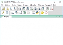
GRASS is a geographic information system (GIS) used for data management, image processing, graphics production, spatial modelling, and visualization of many types of data. It contains over 350 modules to render maps and images on monitor and paper; manipulate raster, and vector data including vector networks.
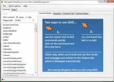
A platform designed to facilitate rigorous spatial analysis and modelling.

Combines geometries using the spatial methods STDifference, STIntersection, etc.


Comments